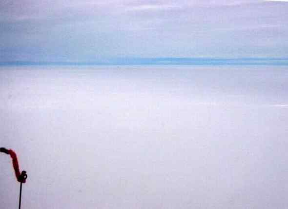
Flying over Greenland is flying over another planet. The country is a completely featureless plateau of ice rising gradually from the sea to a maximum height of 3 kilometers at its center. The country is basically the world’s largest ice-skating rink. With ice rising to 10,000 feet and overcast skies at 12,000 feet, we’re left with only a sliver of horizon for orientation. White-out conditions make it impossible to judge our height over the ice. For the duration of the four hour flight, all eyes are focused on the instruments, without which we could easily become one with the ice.
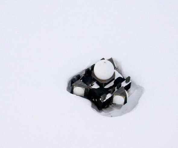
While crossing the icecap, we spot a tiny black object on the horizon (barely visible on the horizon in the photo above). At this point, anything non-white outside causes great excitement in the cockpit.
We think it’s only a few kilometers away, but 50 kilometers later we are still closing in on this mysterious object. Speculation is rampant. Michel thinks it’s an airplane. I think it’s a meteorite. Michel thinks it’s a campsite. I think it’s an animal. Silently we both suspect that the other is hallucinating from lack of oxygen at 11,000 feet. Eventually we reach the object which is an abandoned early warning radar station built by the US to warn of Soviet bombers. This rather spooky place, which we thought was only “a few kilometers away”, has taken us 30 kilometers off course. But at least our curiosity is satisfied.
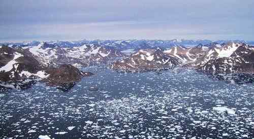
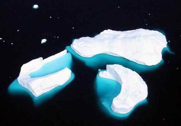
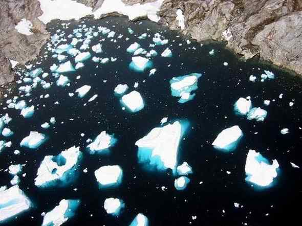
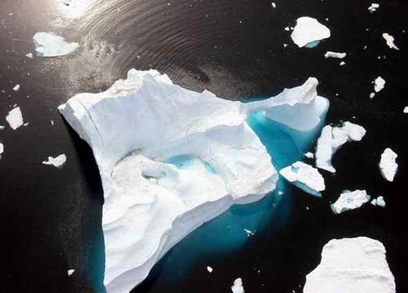
At the eastern coast of Greenland, the icecap meets the sea as massive glaciers carving their way through rocky valleys. Slivers of glaciers dot the ocean as floating islands of ice. Over the water, we fly like drunkards from iceberg to iceberg and stare out the window in awe of their beauty.
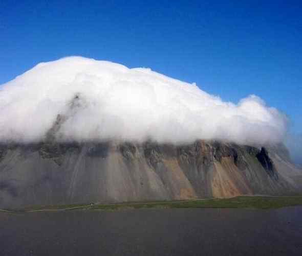
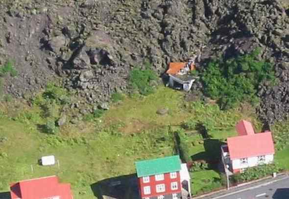
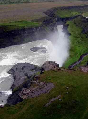
After a relaxing soak in the hot sulfur baths outside Reykjavik, we fly along the southern coast of Iceland. On the agenda for the day are waterfalls, volcanic islands, and houses half-buried in lava.
Monday 30 July
Thursday 2 August
